Landscape Around Ndiassane
Courtesy of Maria Grosz-Ngaté
View Slide Show
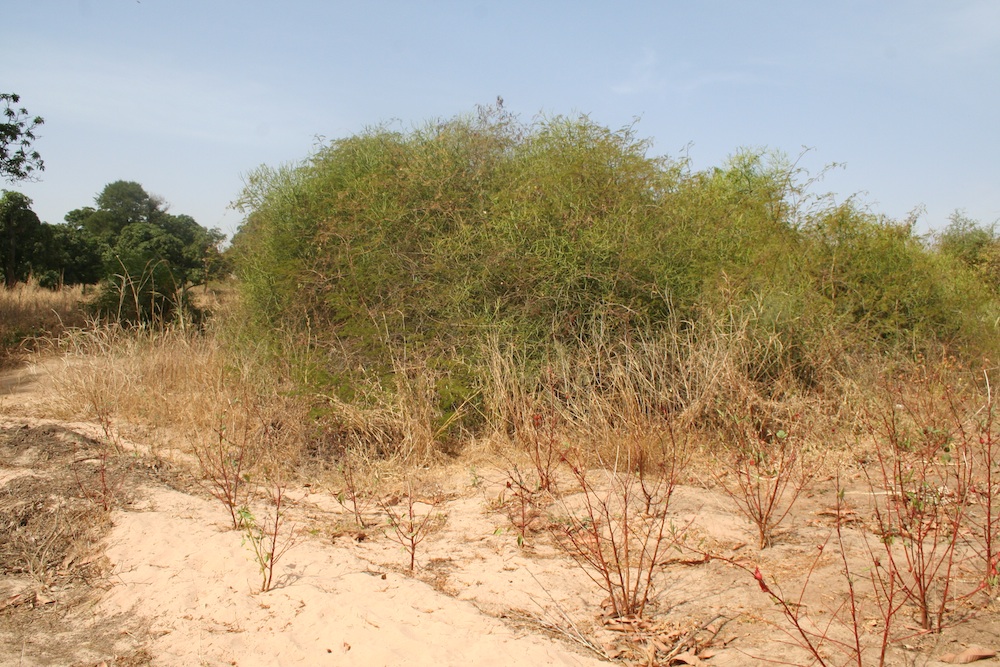
Fields outside Ndiassane
View Full Record
Fields on the outskirts of Ndiassane near the area of the former springs (
séanes). The photo shows how dry this area is between rainy seasons.
Courtesy of Maria Grosz-Ngaté (December 2007)
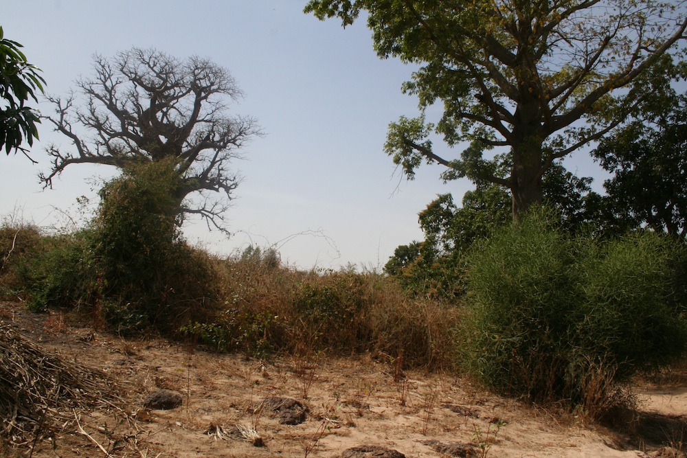
Area of former springs (séanes)
View Full Record
Area on the outskirts of Ndiassane where, according to oral tradition, Shaykh Buh Kunta made springs erupt that greatly improved the agricultural potential.
Courtesy of Maria Grosz-Ngaté (December 2007)
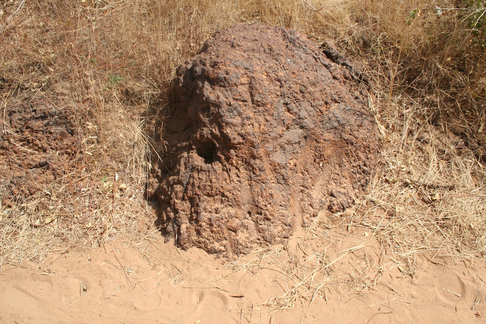
Rock near Ndiassane
View Full Record
Rock that is said to bear the imprint of the fingers of Shaykh Buh Kunta's hand along a path in the fields on the outskirts of Ndiassane.
Courtesy of Maria Grosz-Ngaté (December 2007)
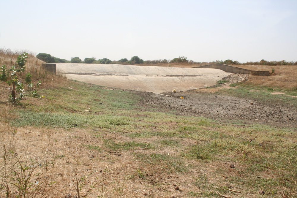
Khalif Sidi Lamin Kunta legacy (4)
View Full Record
Water retention basin constructed by Khalif Sidi Lamin Kunta.
Courtesy of Maria Grosz-Ngaté (2007)
Related Objects
 Fields outside Ndiassane
 (December 2007)
Courtesy of Maria Grosz-Ngaté
 Area of former springs (séanes)
 (December 2007)
Courtesy of Maria Grosz-Ngaté
 Rock near Ndiassane
 (December 2007)
Courtesy of Maria Grosz-Ngaté
 Khalif Sidi Lamin Kunta legacy (4)
 (2007)
Courtesy of Maria Grosz-Ngaté
Creator: Haidara, Toba Diagne
Contributing Institutions: Toba Diagne Haidara; Maria Grosz-Ngate; Matrix: The Center for Humane Arts, Letters, and Social Sciences Online at Michigan State University
Description: Gallery of images showing the area in and around Ndiassane...
Date: 2012
Date Range:
Location: Ndiassane, Thies, Senegal
Format: Image/jpeg
Rights Management: For educational use only.
Digitizer: Toba Diagne Haidara


